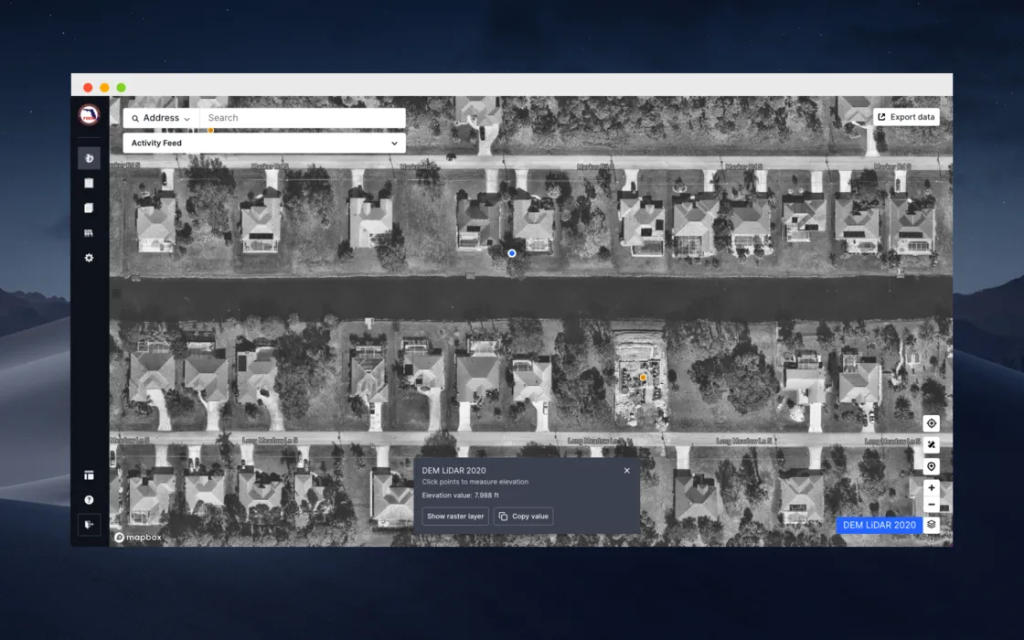
Raster Layer Support
October 11, 2023
by
Lucy Randl
FAQ
The FAQ section wont appear on published site if all FAQs are empty
The FAQ section wont appear on published site if all FAQs are empty
The FAQ section wont appear on published site if all FAQs are empty
The FAQ section wont appear on published site if all FAQs are empty
The FAQ section wont appear on published site if all FAQs are empty
The FAQ section wont appear on published site if all FAQs are empty
Ready to see how Forerunner can support your community?
Book a demo